Industry Profile: MALLON Technology
About us:
Mallon Technology is a leading company in the field of Earth Observation (EO) and Geospatial application, providing innovative solutions to clients since its establishment in 1995. Our headquarters are in Cookstown (Northern Ireland) and Dublin, with additional customer sites located throughout Ireland. We pride ourselves on being industry experts in EO business process solutions, offering a range of services that improve the analysis, visualization, management, and dissemination of geospatial information.
EARSC Activities & Projects

VALORADA: A New project for EARSC!
VALORADA has kicked off on 7th and 8th June! The 3-year project aims to empower European regions and cities to steer the upcoming societal transformation towards sustainable and climate-resilient development through their own actions and is in line with the EU’s Adaptation Mission to transform 150 European regions into sustainable and climate-resilient regions by 2030 in order to:
• Support European regions and communities to become climate resilient.
• Accelerate societal transformations to climate resilience in European regions and communities.
• Demonstrate systemic transformations to climate resilience in European regions and communities, improving access to and usability of available climate data for adaptation purposes is urgently needed.
VALORADA will enable the integration of diverse datasets that merge local knowledge with climate and non-climate datasets through co-developed data manipulation tools and climate data and will contribute to scaling up to 150 regions through the implementation of dedicated scalability and replicability activities with at least 10 European regions, and through strong collaboration with other Horizon projects. Additional activities include capacity-building schemes for end users as well as providers of climate services. In addition to analysing the user requirements of the participating local and regional authorities, EARSC is responsible for dissemination and scalability activities, as well as for incorporating the VALORADA services and success stories into our EARSC tools such as EOwiki, EOmall or EOpages.
Shape the future of the Green Deal Data Space
With the European Digital Strategy, the EU plans to build a strong policy and legislative framework to ensure fairness in the digital environment, stimulate a competitive data market, open opportunities for data-driven innovation and make data more accessible for all [...] .
CREDIBLE Project
Under the EU CREDIBLE project, EARSC has been assigned to set up a dedicated task to coordinate a focus group discussion about the role of satellite-derived data to support carbon removals. Our discussions will be aligned with other conversations through a stepwise process, equipped with governance mechanisms, in order to move from a more technical understanding of the issues, toward an aligned, multistakeholder vision of how-to upscale Carbon Farming.

Embracing the 2030 Agenda
Under the EU SDGsEYES project, EARSC will be leading the stakeholder’s liaison and user uptake. SDGs-EYES will build a portfolio of data products to facilitate monitoring and reporting of selected Sustainable Development Goals (SDGs) on climate (SDG13), ocean (SDG14), and land (SDG15). Service products will be developed, demonstrated, and evaluated with user communities in five pilot areas: (i) GHG emissions from fires (pilot in Cosenza, Italy) (ii) Temperature deviation and health risks (pilot in Turin, Italy) (iii) Eutrophication and acidification in marine ecosystems (North Sea pilot) (iv) Forest cover changes and erosion (pilot in Carpathian ecoregion, Romania) (v) Climate security (African Sahel pilot). If you are active in these areas, please let us know enhance the communities of interest.
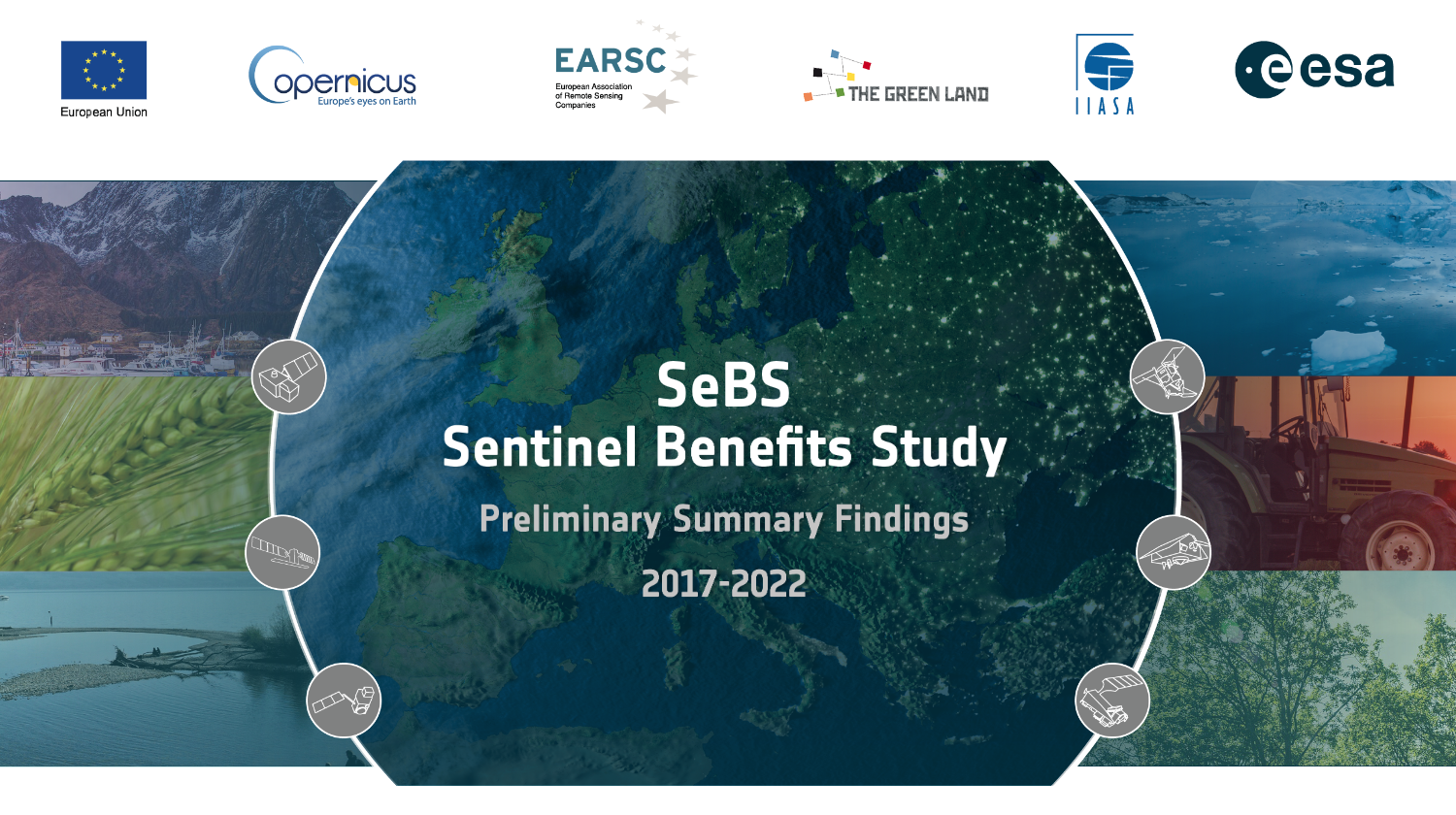
The latest from the Sentinel Benefits Study
Visit the Sentinel Benefits Study website and discover the new cases on Wildfire management in Greece and Air Quality Forecasting in Latvia.
Policy Observatory
Under the Policy Observatory, EARSC is monitoring relevant EU policies and advocating for increased use of the EO services to support policy-makers.
Skills and Workforce
EARSC was involved in the preparation of the Large Scale Partnership on Space Data, Services and Applications: Space4Geo.

EARSC launched a new Working Group on Green Deal
EARSC launched a w/g dedicated to the Green Deal with the purpose to advocate increased use of EO for the Green Deal strategy encouraging the EU to adopt EO contribution through statements, position papers and ensuring awareness of the industry contribution responding to the monitoring needs for the Green Deal implementation. For further information contact info@earsc.org [...]
Members News

IRS-1C/1D satellite data to be freely available to support Climate Change/Green Deal activities in Europe
GAF AG and ESA have started a project to enable long term preservation of and public accessibility to the EO data archive of the Indian Remote Sensing satellites IRS-1C and IRS-1D. The data had been collected over Europe between 1996-2005, during the pre-Sentinel era. The preservation and free and open distribution of IRS-1C and IRS-1D satellite data will improve public access to heritage data over Europe from the pre-Sentinel period. It will also support long term analyses of climate-relevant key indicators and land cover and land use trends that are relevant to Climate Change and Green Deal policies and action in Europe. [...]

UP42 brings STAC to its storage
Over the past few years, the geospatial industry has grown significantly, and with it, the number of image providers and data volume. Most users have probably faced a few data management challenges along the way. Data standardization, or the lack of it, in particular, is often cited as a major barrier to the widespread adoption of geospatial data. [...]

ICEYE’s Four New Generation 3 Satellites Launch with SpaceX’s Transporter-8, Introducing High-Resolution Spot Fine Image Product
Two European and two US-built SAR Satellites grow the world’s largest synthetic-aperture radar (SAR) satellite constellation, providing governments and enterprise customers with reliable data and insights for time-critical decision-making.
Yield prediction for arable crops in Germany based on Sentinel-1 SAR data
For a farm in Thuringia/Germany, we have developed a model based on historical yield data and ESVI (enhanced SAR Vegetation Index) that enables the yield to be reliably estimated. Sentinel-1 satellites deliver data regularly every 12 days worldwide with a resolution of 20x20 m. The ESVI is based on this data and can be seen as a proxy for fresh biomass. SAR data are independent of daylight and atmospheric disturbances and are therefore ideal for time series analysis. In this evaluation we used yield and satellite data from all years 2018 - 2022. [...]
CloudFerro kicks off DestinE Data Lake project for EUMETSAT
CloudFerro has kicked off the 1st phase of works on Data Lake – a massive repository of data managed by EUMETSAT that will provide the foundation for the European Union’s flagship “Destination Earth” initiative of digital Earth modelling contributing to the European digital and green transformation. As a prime contractor for EUMETSAT, CloudFerro is responsible for coordinating the Data Lake project, the delivery of cloud infrastructure (Infrastructure-as-a-Service and Platform-as-a-Service), Big Data processing, and service operations and maintenance. Next to the Copernicus Data Space Ecosystem, this is another large-scale European initiative that CloudFerro collaborates on, which demonstrates the company’s capabilities to provide high-quality scalable services of specialized cloud-based platforms.[...]

Oikon organizes 7th Conference on Wind Energy and Wildlife Impacts - CWW2023
CWW2023 is among the most prominent global conferences focusing on wind energy and its effects- on wildlife. Taking place 18-22 September 2023 in the picturesque historical city of Šibenik, Croatia, the event is centred around the theme "Nature inclusive upscaling of wind energy: Binding together knowledge, innovation, technology and biodiversity on the coast of Croatia". The conference will feature engaging discussions, informative presentations, interactive workshops, and plenty of networking opportunities, all organized by our member Oikon Ltd. – Institute of Applied Ecology. [...]
Developing Next Generation EO Applications
RSS-Hydro is a Luxembourg-based company developing innovative water and climate risk solutions to help public sector and industry clients achieve impact in the SDGs for a better and safer future. We are regularly carrying out a number of research projects with national and international partners to develop science-based commercial solutions using the newest advances in Earth Observation (EO) and space technologies and combine this with numerical modeling and novel computing architecture. This allows us to push current state-of-the-art capabilities to the next level, so we can build next generation products and offer them today. [...]

Planet to Acquire Sinergise Business to Expand its Data Analysis Platform
Planet Labs PBC (NYSE: PL), a leading provider of daily data and insights about Earth today announced it has signed an agreement to acquire the business of Holding Sinergise d.o.o. (“Sinergise”), a leading developer platform for earth observation (EO) data. By reducing the complexity of analysis and insights extraction, as well as the cost of EO data storage, Planet aims to continue expanding into new vertical markets with products and applications where EO data is highly relevant such as agriculture, civil government, insurance, financial markets, and sustainable supply chain management.

Copernicus Data Space Ecosystem receives first major upgrades
Copernicus Data Space Ecosystem is the new portal of the European Space Agency (ESA) for streamlined access to Copernicus satellite data. The portal combines the search and download functionality of the Science Hub with the smooth viewing and easy API access provided by the Sentinel Hub EO Browser. The Ecosystem was launched in early 2023, with new features and updates added in the subsequent months. […]

New tools and datasets in the Copernicus Data Space Ecosystem
The Data Space is the new infrastructure for Sentinel imagery, and now comes with advanced coding tools such as Jupyter Notebooks, openEO, and a QGIS plugin. These tools enable newcomers to get coding quickly and industries or service providers to rapidly develop and market new products. […]
CGG and Paragon Collaborate on Carbon Sequestration in North America
CGG, a global technology and HPC leader, and Paragon Geophysical Services, Inc., a leading seismic acquisition company based in Wichita, Kansas and offering subsurface mapping services across the United States, have signed a Memorandum of Understanding (MoU) to combine their respective capabilities in support of energy transition customers and, more pacifically, add value to the development, operation, and monitoring of carbon sequestration sites in North America.[...]

Latitudo 40 Earth Analytics to support sustainable cities
In Europe and around the world, initiatives such as the EU’s Climate-Neutral & Smart Cities mission, the Race to Zero and the Covenant of Mayors Climate-Adapt are helping to galvanise climate action but nobody is under-estimating the scale of the challenge. What these initiatives have in common is the need for constant monitoring of a city’s territory and environment to assess the current situation and check progress. Moreover, this monitoring needs to be put in context with information from decades past to gain the necessary deeper understanding. This was the aim when developing the climate change adaptation and mitigation platform Latitudo 40, that allows cities to be constantly monitored. It uses raw data generated by earth observation satellites, combined with artificial intelligence (AI), to understand how the earth’s systems have changed and predict how they will evolve in the future. It is designed to provide a more sustainable and resilient approach to urban climate action.[...]

Irriget - Irrigation Support Service
Wasat has launched Irriget (www.irriget.com) – the EO service that provides growers with precise information on current crop water requirements. Based on the analysis of Sentinel-2, Sentinel-3 and meteorological data, it generates intuitive charts and maps facilitating the optimal irrigation decision- making. [...]

Copernicus EMS: Planetek Hellas reconfirmed provider of Rapid Mapping services
For the next 6 years, Planetek Hellas will support the Rapid Mapping Component of the European COPERNICUS Emergency Mapping Service (CEMS). With more than 650 events, and over 5000 satellite maps delivered to more than 46 countries in ten years of activity, the service has been supporting the First Response Units around the globe when disasters occurred. [...]

Open Cosmos - simplifying access to space
Since Open Cosmos was founded, its mission has been clear - to simplify access to space in order to solve some of the world's biggest challenges. Today, the company is one of the fastest growing space infrastructure providers in the sector, providing fully managed satellite missions which incorporate design, build, launch and operations. [...]

Satellite data for coastal management to cope with climate change: Review of the European programme ‘ESA Coastal Erosion’ led by i-Sea.
An expert in biodiversity and coastal monitoring, the Bordeaux-based company i-Sea is the leader of ‘ESA Coastal Erosion’ (€4M investment), a major European programme launched in 2019 under the aegis of ESA, the European Space Agency. Based on satellite observation of the coastal zone to prevent and mitigate coastal erosion, this programme is coming to its end and the results are very promising. [...]
RHEA Supporting the Earth Explorers
RHEA Group is contributing to the European Space Agency’s (ESA’s) Earth Explorer and other Earth observation (EO) missions, designed to observe different aspects of Earth’s system, through payload data ground segment engineering support service at ESRIN in Frascati, Italy. RHEA staff provide technical expertise through each mission’s life cycle, from the preliminary design to the operations, and the long-term data preservation for missions that have ended their operational life. [...]

The latest news from Cloudeo: answr, NESTLER, EO-PERSIST
Cloudeo, a geospatial data company, has launched Answr, a user-friendly API platform for climate risk analysis. With more than 50 climate statistics and over 20 layers of risk data, Answr aims to provide businesses with deep risk insights and advanced analytics to make informed decisions and improve long- term resilience. Cloudeo is also involved in two projects, EO-PERSIST and NESTLER, which leverage Earth Observation (EO) data for permafrost studies and holistic monitoring of animal, plant and human well- being, respectively. In addition, Cloudeo operates a data-driven data marketplace where customers can access more than 75 professional geoinformation services. [...]

Pioneer method to classify irrigation types using remote sensing data can improve water management
A new study by isardSAT and IRTA provides for the first time a method to classify irrigation systems (flood, sprinkler, drip) and not irrigated fields using remote sensing. This methodology, replicable to several agricultural areas, has mapped in Lleida (Spain) the ongoing modernization of the irrigation systems, which remained unseen within the available databases. [...]

WorldCereal releases global seasonal crop type maps
In June 2020 the WorldCereal consortium started on a scientific adventure to develop an opensource, agile and robust system for global agricultural monitoring making use of state of the art classification algorithms, free EO data sets (Copernicus Sentinel-1 and Sentinel-2 and Landsat 8), and in situ reference data sets.. [...]

FOUR MORE YEARS TO SERVE COPERNICUS GLOBAL LAND SERVICE
The Copernicus Global Land Service (CGLS) is a component of the Land Monitoring Core Service (LMCS) of Copernicus, the European flagship programme on Earth Observation. It has been operational since 2013, providing a series of bio- geophysical products describing the status and the evolution of vegetation, water cycle, energy budget and terrestrial cryosphere. The products are key information to monitor the land ecosystems at global scale.. [...]

VITO Remote Sensing rewarded with Geospatial World Leadership Award
Geospatial World has constituted this award since 2007 with an objective to recognize, honor and celebrate professional excellence. Geospatial World, having its mission 'Advancing Knowlegde for Sustainability', does evangelize and advocate for deployment and utilization of geospatial knowledge infrastructure and services across every sphere of socio-economy.. [...]
EO4BAS, Earth Observation for Baltic and Arctic Shipping
The ESA program called EO - Science for Society sponsors projects to support the implementation of Earth Observations (EO) in a variety of industry sectors, by providing a roadmap to a best practice. Industry sectors so far covered by the ESA program include oil and gas (EO4OG), agro-insurance (EO4I), the mining of raw materials (EO4RM) and the currently ongoing Earth Observation for Arctic and Baltic shipping (EO4BAS). [...]

IRIDE: ESA awards to Planetek 42 million euro contract to develop downstream services.
The European Space Agency awarded Planetek Italia two of the four contracts, worth a total of EUR 42 million, for the development of downstream services derived from the EO data of the future Italian satellite constellation IRIDE. [...]
EARSC & members' vacancies
- EARSC is looking for a Policy Officer
- KSAT is looking for a Director Innovation Management
- Sinergise is looking for Python developer, Back-end developer for Sentinel Hub, Back-end developer for openEO platform
- Space4Good: Various positions
- ICT System Management Specialist
- GeoVille: Various positions
EO news
Internationalisation
- China launches new Gaofen 12 Earth observation satellite
- Africa’s critical mineral exploration rapidly accelerates as Fleet Space deploys the first ExoSphere satellite
- Ivanhoe Mines and SES continue providing low-latency satellite connectivity to Africa
- SES and Emirates Telco du Complete 5G Demo in the Middle East
- Canada Commits to Support Commercial Space Launch
We welcome your feedback on our eoMAG. For any comments please reach out to us at info[at]earsc.org


