
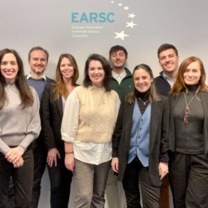
EARSC Team 2023
Welcome to the first eoMAG of 2023!
In these last days of January, I wish you all a happy and healthy new year. The President of the European Commission, Mrs von der Leyen defined 2023 as the European year of skills. Skills are a critical topic for companies, and the whole sector, to integrate new approaches to develop new capabilities. 2023 will also be the year of Security & Defense with potential dual use of assets, as mentioned several times at the Space Policy conference in Brussels this week. But let’s not look too fast at the future and take time to appreciate the Earth Observation Downstream Industry dynamism in the last quarter of 2022.
Launched one year ago, the Green Deal Working Group has been very active, producing numerous content and interacting with stakeholders to better promote EO’s role in supporting future regulations. In September, the European Parliament accepted the amendments proposed by EARSC, and in December, the European Council voted on a new law to fight global deforestation and forest degradation. This law will require certification based on satellite imagery and GPS coordinates for commodities such as palm oil, cocoa, coffee, beef, and rubber to ensure their origin can be accurately determined. […]
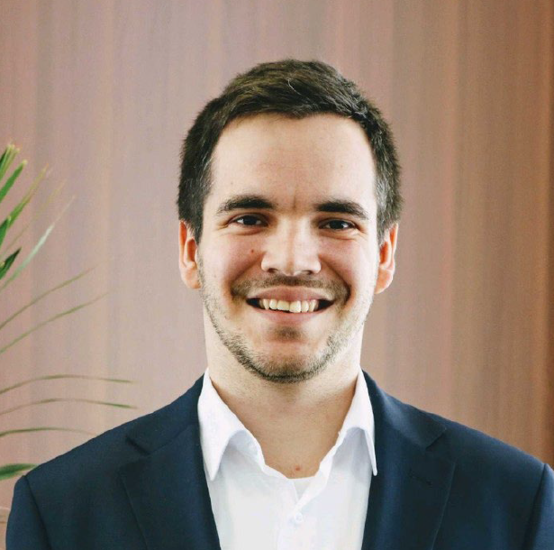
EARSC Secretary General
Emmanuel Pajot
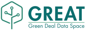
You can now get involved in the GREAT project & shape the future Green Deal Data Space!
Shape the future Green Deal Data Space (GDDS) through sharing your experience, needs and faced challenges. Calls for Use Cases and calls for consultations will be launched soon on the website, but you can already apply to stay tuned and not miss your chance to become a GREAT Use Case.
EO4SDGs
Earth observation (EO) is a powerful instrument to support the reporting on Sustainable Development Goals (SDGs) and the provision of relevant information to effectively monitor progress towards the SDG targets, and the degree of compliance with the International Agreements. The EO Supporting the Sustainable Development Goals area provides a wide list of success stories categorized according to the UN Sustainable Development Agenda allowing interested EO user communities to identify EO applications. [...]
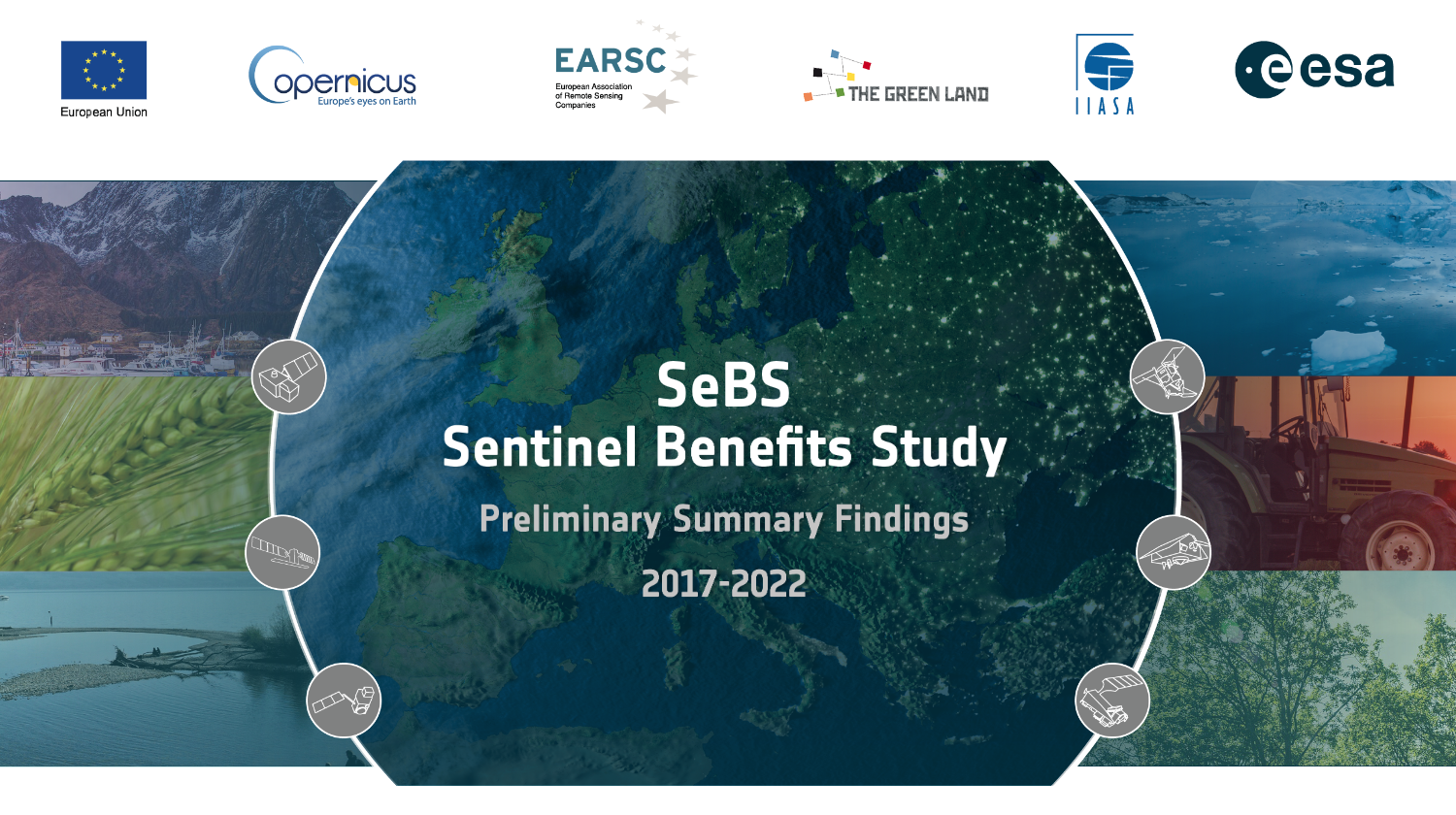
The latest from the Sentinel Benefits Study
A number of further economic benefit studies were published over the last couple of months in 2022 within the Sentinels Benefits Study. Oil spill in the Mediterranean looks at how the CleanSeaNet (CSN) service operated by the European Maritime Safety Agency (EMSA) helps national authorities monitoring their waters.CSN uses Sentinel-1 and other data to identify potential oil slicks and possible polluters and, in a matter of minutes, transfer this information to the national competent authorities such as SASEMAR in Spain and Transport Malta. [...]
Policy Observatory
Under the Policy Observatory, EARSC is monitoring relevant EU policies and advocating for increased use of the EO services to support policy-makers. EARSC gathers the inputs of its members on how the downstream EO sector can contribute to various EU initiatives. These statements, reflecting the industry’s views and recommendations, are submitted in response to the European Commission’s open consultations with the objective to include EO capabilities in support of the achievements of European policies. [...]

EO4GEO Alliance
The importance of skills development for Europe economic growth was stressed by the President of the European Commission Ursula von der Leyen’s State of the Union Address, setting 2023 as the year of skills. [...]
Join the FIRE Forum 2023 – the week on FIRE between 1st and 3rd February 2023
The FIRE Team can proudly announce the extension of the project until February 2023 and the organisation of the FIRE Forum 2023 from 1st to 3rd February 2023. [...]
EARSC launched a new Working Group on Green Deal
EARSC launched a w/g dedicated to the Green Deal with the purpose to advocate increased use of EO for the Green Deal strategy encouraging the EU to adopt EO contribution through statements, position papers and ensuring awareness of the industry contribution responding to the monitoring needs for the Green Deal implementation. For further information contact info@earsc.org [...]
EO-Learning: Free online courses on Earth Observation.
EO-Learning is the e-learning platform with free courses and resources on Earth Observation launched by Planetek Italia in December 2021. A new opportunity for students and professionals in private and public entities to learn and stay up to date on technologies, methodologies and applications of satellite Earth Observation... [...]
New Horizon Europe project sets off to develop new prototype services for the Copernicus Land Monitoring Service
A consortium under the lead of VITO officially launched the new Horizon Europe project EvoLand (Evolution of the Copernicus Land Service portfolio) in Leuven (Belgium) on the 17th and 18th of January 2023. ... [...]
Earth Observation and Media: unbreakable bond!
More and more often we see satellite images on media around the world. This is because they offer a clear and honest vision of the Earth to understand and observe events such as climate change, drought, floods, temperatures, volcanic activity... [...]

Automatic fruit count to support crop management
Fruit growers are constantly monitoring crops and optimizing their management in order to produce as many high-quality fruits as possible. But how much information can a fruit grower obtain via manual inspection? If done by sampling, is this information complete and representative of the entire orchard?.. [...]
A new initiative of the European Space Agency and the European Commission – Copernicus Data Access Service has been kicked off.
A new initiative of the European Space Agency and the European Commission – Copernicus Data Access Service has been kicked off. CloudFerro, a cloud services provider and the operator of CREODIAS, plays a key role in a consortium of seven European organizations led by T-Systems, who will jointly build the new Earth observation data ecosystem of an unprecedented scale. The new service will produce significant long-term impact to the European science, economy and society. The overall value of the 6-year contract, that can be extended to 10 years, is €150 million... [...]
UP42’s growth journey: looking back before moving forward
UP42 is a platform and marketplace that provides API-first access to a wide range of geospatial data and analytics. We’re on a mission to simplify access to satellite imagery, expand the earth observation market, and make it easier than ever to access data and extract insights at scale. With this in mind, we launched the UP42 data platform, a one-stop-shop for all geospatial data needs, to overcome the challenges of ordering data from different providers. We also introduced our streamlined tasking interface, enabling our users to manage the whole tasking process within the platform. Find out more about UP42’s journey in our article. [...]
Leading Earth Observation and AI data intelligence provider Aspia Space expands team with new hires
Aspia Space, the leading satellite data intelligence provider, today announces two new appointments as it expands its team to meet growing demand for its pioneering Earth observation data intelligence service. [...]
GEOSAT improves resolution in satellite imagery based on Artificial Intelligence (AI)
GEOSAT is a global Earth Observation company delivering very-high resolution and wide swath imagery complemented with analytics targeted at specific vertical markets in a great variety of fields and applications. The company owns and operates 2 satellites: GEOSAT 1 (22m resolution) and GEOSAT 2 (up to 40m resolution at nadir) and is currently leading the development of its future constellation of High- Resolution (HR) & Very High-Resolution (VHR) satellites, targeted at frequent revisit and increased resolution.. [...]
Sentinel-1 SAR data to visualize the growth dynamic in cropland
In farming and especially precision farming we have a technology driven crop production. But still crop development follows natural processes, which vary due to weather conditions and site-specific circumstances. [...]
Towards continuous land cover monitoring at high resolution
Timely information on land cover and land cover change is crucial to understand anthropogenic pressures on our environment, the state of ecosystems, and their evolution. Although several high-quality multi-temporal land cover maps at high spatial resolution already exist, new policy requirements often require an even higher spatial and temporal resolution. [...]

New Copernicus Data Access Service to Support the Ecosystem for Earth Observation
A new service to better exploit the EU’s Copernicus satellites data kicked-off in December 2022, taking the Copernicus program to the next level and ensuring the data to make the greatest possible impact. The new service builds on existing distribution services and DIAS-es, ensuring their continuity, but it is also much more. ESA has selected an industrial team lead by T-Systems, including CloudFerro, Sinergise, VITO, DLR, ACRI-ST and RHEA as partners, for its implementation and operations. […]
Three innovation awards for EOMAP
Two new breakthroughs by the German expert for space-based information on water environments have recently received three awards: RastLess, a new cloud computing solution for fast and cost-saving geospatial data analytics and SDB-Online, the WebApp for mapping shallow waters. [...]
Crisis of Fertile Land Degradation
Space4Good and HOMMES ET TERRE working together to assess tree growth and detect differences over time at a collection of sites in Burkina Faso, Africa, in order o gain more targeted and efficient planning insights from space: [...]
Cooperation between GAF AG and BKG
The signing of a comprehensive framework agreement has expanded the successful cooperation between GAF and the German Federal Agency for Cartography and Geodesy (BKG Bund). , [...]
New Nigerian Online Mining Cadastre System based on GAF AG’s eMC+ officially launched
The Nigeria Mining Cadastre Office (MCO) in Abuja officially launched its new Online Mining Cadastre System, based on GAF’s eMC+ framework, in November 2022 at the 6th Nigeria Mining Week, in the presence of the Vice President, Prof Yemi Osinbajo, and the Director General MCO, Engr Simon Nkom. [...]
UK power and gas networks look to space to provide digital asset monitoring
Spottitt is excited to announce its involvement in the delivery of one of only 18 projects selected to receive just under 400k GBP Alpha Phase SIF (Strategic Innovation Fund) funding. The funding is awarded by Ofgem and Innovate UK and aims to find and fund ambitious, innovative projects with the potential to accelerate the transition to net zero. These projects aim to help shape the future of the gas and electricity networks across the UK and beyond. ... [...]

Mining Company PlanetGeoScan Namibia and explorer GeoScan GmbH sign MoU for critical battery minerals in Namiba
At the state-visit of German Vice-Chancellor and Minister for Economy and Climate, Dr. Robert Habeck, PlanetGeoScan Namibia Pty LLC, Namibia, and GeoScan GmbH, Germany, signed a Memorandum of Understanding for finding, mining and processing lithium and other critical battery minerals in Namibia [...]
