Tell us a bit more about your company
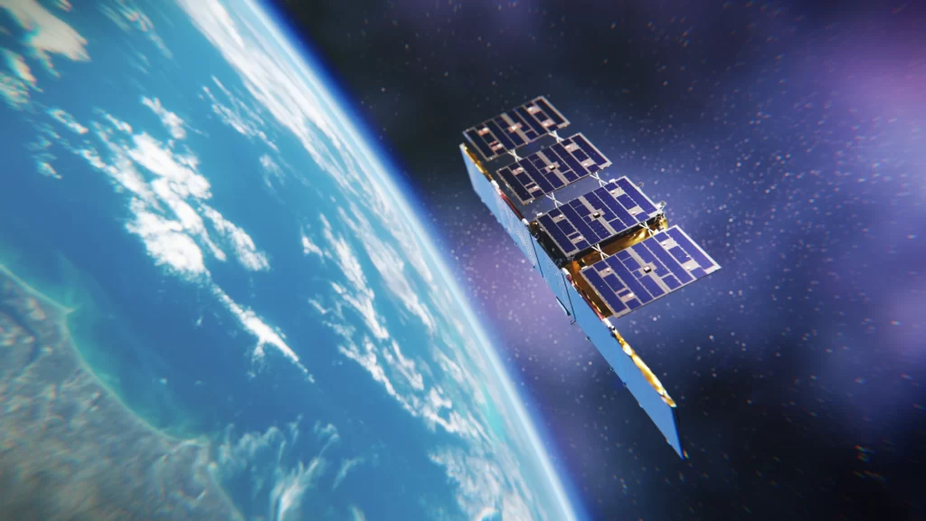
At ICEYE, we deliver unmatched persistent monitoring capabilities for any location on earth. We operate the world’s largest synthetic-aperture radar (SAR) satellite constellation, and we enable our clients to take objective, data-driven decisions, in sectors such as insurance, natural catastrophe response and recovery, security, maritime monitoring and finance. Traditional optical and radar satellites have been around for a long time, but the ability to image with the frequency, clarity and accuracy needed to make operational decisions has never been possible. ICEYE’s data and imagery can be collected anywhere on the globe, day or night, and even through cloud cover.
What makes your services and products unique?
ICEYE is enabling access to entirely new levels of data for the persistent monitoring of large and small areas across the globe – every few hours, day and night, in any weather. From tracking fast-moving objects like vessels in the sea to monitoring and addressing national security issues to potentially predicting natural disasters by identifying millimetre-level changes, ICEYE’s persistent monitoring unlocks previously unseen changes to the environment and human activity. Daily Coherent Ground Track Repeat (GTR) imaging is one of our key new services. It enables detection of everything from large changes, such as monitoring if ships have moved, all the way to detailed changes on-ground that a person on-site would not be able to recognize. The data enables performing Coherent Change Detection (CCD) every 24 hours, which has use cases in detailed monitoring of patterns of life, site activity, ground subsidence, infrastructure integrity, construction, and more. ICEYE now provides the world’s most frequent coherent radar satellite data coverage to a selected initial set of customers. The capability is delivered to customers as daily imagery delivered from individual customer-selected locations. This newly demonstrated capability is expected to be available for a wider customer base in 2022, after the initial early access period. Coherence is a term given for the exact similarity between two radar satellite images. If a car has driven across a field, stockpiles have been adjusted, or forested areas have been cut down, these are seen as changes in the coherence between the chosen two images taken from different times of that location.
What are your future plans for the company?
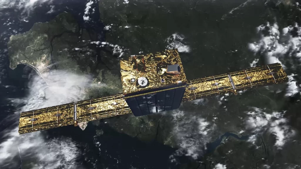
Natural catastrophe related services are a big part of our focus at ICEYE. So far in 2021, ICEYE has tracked more than 450 potential flood events globally, imaged over 350 potential flood events, and analysed over 30 flood events which each spanned a total area of at least 20,000 km 2 . In total, the company has launched 14 SAR satellites since 2018, with the most recent launch of four new spacecraft taking place in July. ICEYE also recently joined the seventh cohort of the Lloyd’s of London’s innovation accelerator programme, Lloyd’s Lab. Our collaboration with the European Space Agency has also been very successful and we expect it to take more steps forward, as the company has recently signed an agreement to serve as a Contributing Mission to the Copernicus programme, in addition to the Third-Party Mission agreement signed earlier this year.