Tell us a bit more about your company
Marine coastlines, coral reefs, lakes or river catchments … - shallow waters are what we focus on. Since 2006, we have been mapping and monitoring aquatic environments for customers all over the world. Among these, we count renowned hydrographic offices, environmental agencies as well as industry partners. Our mission is to harness the terrabytes of satellite data recorded every day, offering our clients a quick, but panoptic view on shallow waters of their interest. This helps them deeply understand, manage and finally even mitigate impacts or changes. EOMAP is an Earth Observation expert for Satellite-Derived Bathymetry (SDB), Seafloor Classification and Water Quality Monitoring. In addition to high-tech data analytics, we provide IT-solutions, above all web-based software services. Last, but not least, we cooperate in manifold R & D projects, tackling artificial intelligence, green energy or drinking water. All in all, we strive to address both water related UN Sustainability Goals, SDG 6 and SDG 14.
What makes your services and products unique?
Basically, we combine three efforts to help understanding, managing and protecting shallow waters:
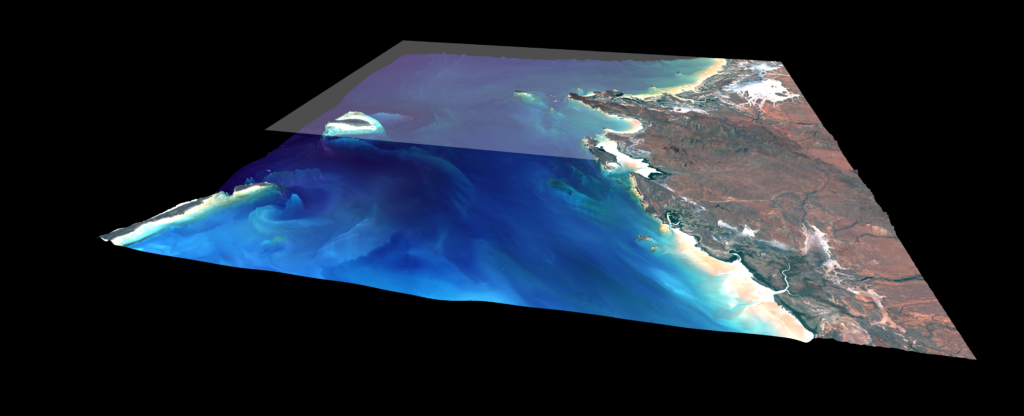
- Reduce environmental risks: Uncertainties in Earth observation can arise from various factors. The algorithms within our processing chain include mechanisms for quantifying these and flagging relative reliabilities. For the sake of accuracy, we base our work on standardised, physics-based and validated analytics. As technology leader, we were the first and sole company whose Satellite-Derived Bathymetry (SDB) was included in the British Admiralty charts. In another project we provided SDB for the world-first 3D habitat map of the entire Great Barrier Reef, comprising over 3,000 coral reefs.
- Face economic needs: Our customers wish to avoid risky, time or money consuming processes. They benefit from our long-term experience and 100+ projects per annum, involving water bodies around the globe. One of these was to monitor nearshore dredging activities in the Baltic Sea for Nord Stream 2, a gas pipeline. The coastal waters of Narva Bay are part of the Kurgalsky nature reserve, calling for careful environmental impact assessments and ecological surveys. Using a multi-sensor approach, we monitored turbidity and related suspended matter concentrations including seasonal changes.
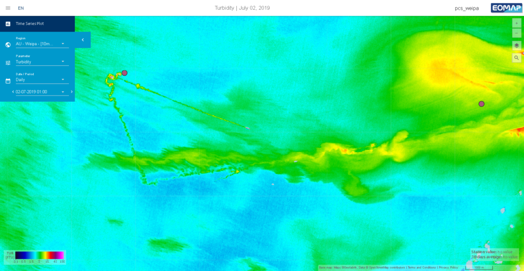
monitoring for a port authority – © EOMAP
- Support knowledge increase: We invite our partners to dive deeper into the values of remote sensing. Therefore, we offer more than consultancy and capacity building. By online and software solutions which we integrate into
their daily workflows, we empower clients to rapid and convenient data access. This can simplify their monitoring, reporting and planning. In this context, we have been providing high-res SDB data for the EMODNETconsortium
and - since 2021, for The Nippon Foundation-GEBCO Seabed 2030 – aiming at a freely available map of the world oceans‘ seafloor. As for the above mentioned monitoring project in Narva Bay, we offered a constant overview of water quality via our online platform eoApp.
What are your future plans for the company and your products?
We will certainly continue to turn satellite data into value – for our customers and the planet. In a nutshell: Evolving dashboards and more smart software solutions will keep us busy. At the HYDRO ’22 for example, we will launch the HYPOS suite, a toolbox for the hydropower industry, developed by a European consortium, supported by Horizon2020. Combining modelling with satellite data it offers direct access to key hydrological and water quality parameters and – finally – efficient sediment management. We are diving even deeper into the integration of multi-source data on aquatic environments, involving drones or unmanned maritime systems. And we are delving into topics highly relevant for the sustainable use of water, such as drinking water supply, plastic waste monitoring or blue energy.
Sounds exciting! Can we join you?
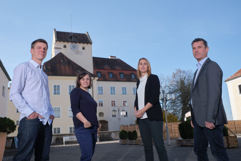
Sure. We’ve been growing constantly, and applications of broad-minded professionals are welcome. Above all, we appreciate people who can bridge the gap from environmental research to industry applications. EOMAP’s team unites physicists, software engineers, hydro-geologists as well as GIS and remote sensing specialists – of ten nationalities! Our HQ being in Castle Seefeld near Munich (Germany), we operate sales offices in Australia, the United Arab Emirates, Indonesia and the USA.
How can we contact you?
Please keep track with all our activities on LinkedIn, send an Email to we-care@eomap.com or arrange for a meeting via our web-tool on www.eomap.com.